
Geography of Pakistan: A Land Formed by Mountains, Rivers, and Time
The geography of Pakistan is a story of extremes — mountains, deserts, plains, coastlines, and river systems shaped by millions of years of geological activity. Pakistan is a country where landscapes are not just physical spaces but powerful expressions of climate, history, and natural diversity. The land ranges from some of the tallest mountains on Earth to vast deserts, from fertile river plains to dense mangrove forests, from ancient plateaus to coastal ecosystems shaped by tides and monsoon winds. Understanding Pakistan’s geography means understanding the forces that have shaped its people, culture, agriculture, biodiversity, and long history of human settlement.
The geography of Pakistan includes some of the world’s most diverse mountain systems, stretching from the Karakoram to the Hindu Kush and western Himalayas. It is a land formed by continental collisions, carved by glaciers, fed by mighty rivers, and sculpted by winds that travel from the Arabian Sea to the Himalayas. To explore its geography is to trace the story of Earth itself — written in stone, water, and time.
Related: Wildlife in Pakistan – Exploring the Country’s Rich Biodiversity
The Northern Mountain Realms: Roof of the World
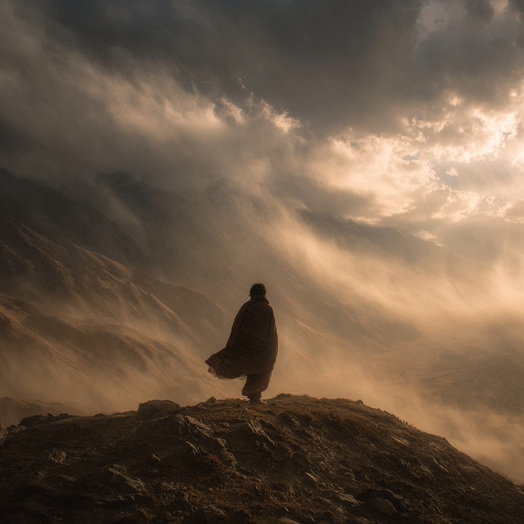
The northern regions of Pakistan are home to some of the most extraordinary mountains on the planet. Here, three great mountain systems — the Himalayas, the Karakoram, and the Hindu Kush — converge in a spectacular collision of rock and ice. This convergence creates one of the most geologically active zones in the world, where tectonic forces continue to push mountains skyward.
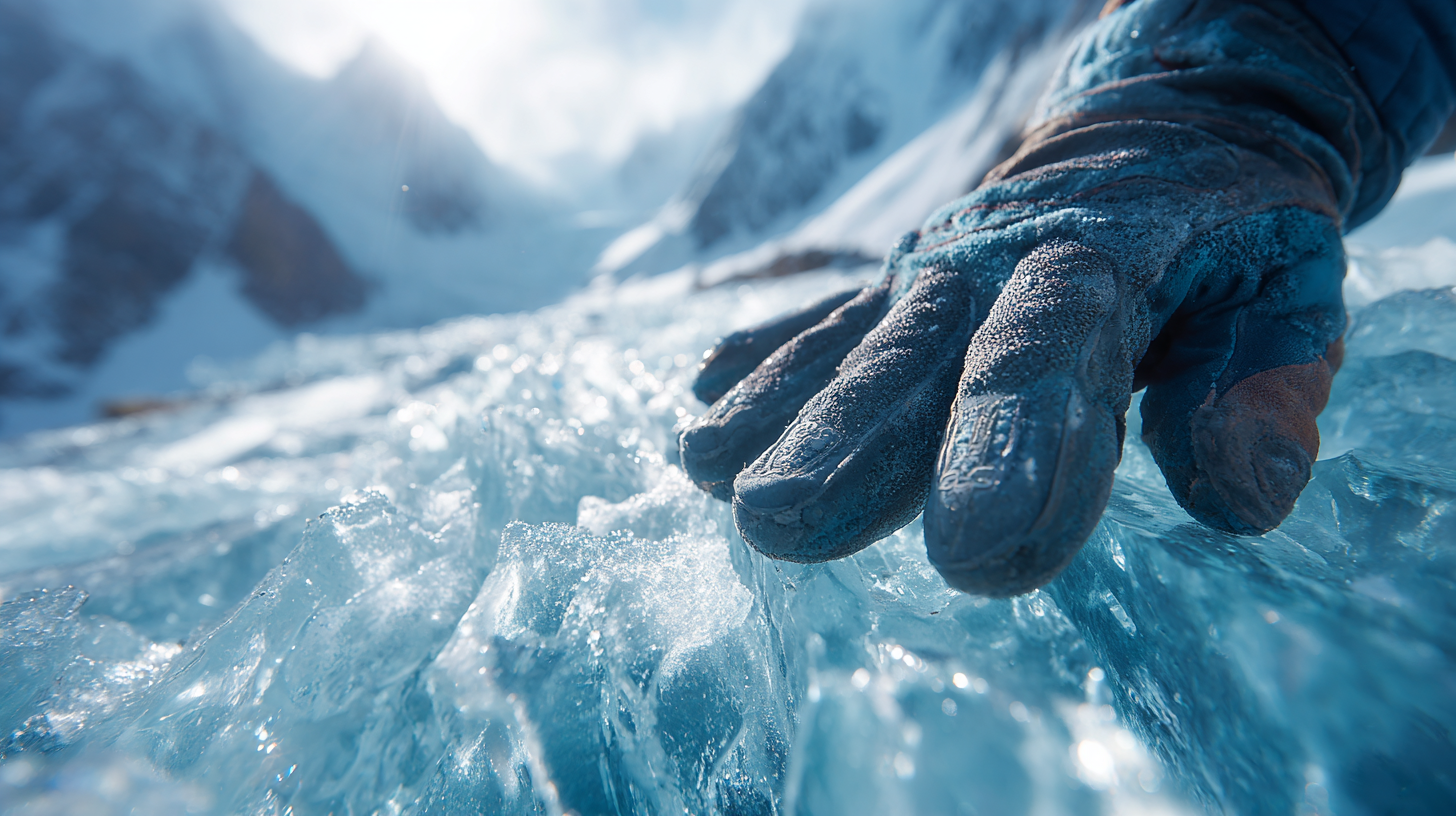
The Karakoram range, home to K2 and countless other towering peaks, is one of the youngest and most rugged mountain systems on Earth. Its glaciers move through narrow valleys like frozen rivers, altering the landscape year after year. The Baltoro Glacier, stretching more than sixty kilometers, forms an icy superhighway between some of the greatest summits of the planet. Glacial meltwater from these high ranges feeds rivers that become lifelines for millions of people in the plains below.
To the east lies the Himalayan system, whose foothills soften into terraced farms, pine forests, and river valleys shaped by seasonal snowmelt. The western Hindu Kush offers a different geological character — older peaks, weathered by time, with hidden valleys that descend toward Afghanistan. These mountains influence Pakistan’s climate, capturing monsoon moisture in the east while casting rain shadows in the west. They form natural barriers, cultural corridors, and ecological sanctuaries, making northern Pakistan a region of exceptional geodiversity.
Plateaus and Highlands: The Rugged Heart of the Country
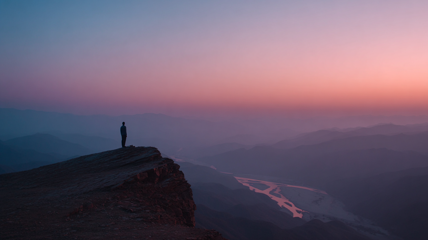
Moving south and west, the mountains give way to extensive plateaus and highlands shaped by millions of years of tectonic uplift and erosion. The Pothohar Plateau, located in northern Punjab, is a landscape of rolling hills, gullies, and sandstone formations. Its history dates back to prehistoric times, and ancient river terraces here hold some of the earliest evidence of human presence in South Asia.
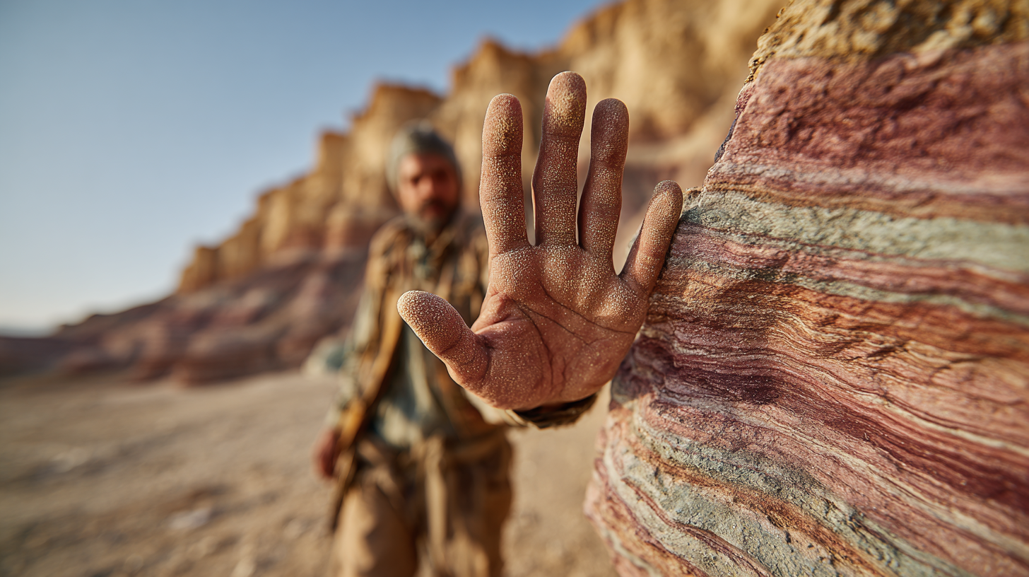
Further west, the Salt Range rises abruptly from the plains. Its strata contain Himalayan fossils, salt deposits more than 600 million years old, and evidence of ancient seas that once covered this region. The range separates the Pothohar Plateau from the fertile plains of Punjab and creates a natural transition between highland and lowland environments.
Balochistan’s highlands, including the Sulaiman and Kirthar ranges, form another vast geological world. This region is shaped by arid climate, wind erosion, and active tectonics. Dry riverbeds, canyons, and gravel plains dominate the landscape. The terrain is stark yet mesmerizing — a region where vast open spaces reveal the rawness of Earth’s geological processes. Understanding the geography of Pakistan means understanding its climate, rivers, and ecosystems.
The Indus Plain: Pakistan’s Agricultural Heartland
At the core of Pakistan lies the Indus Plain, one of the most extensive and fertile river systems in the world. This region, stretching from the northern foothills to the Arabian Sea, is shaped by the Indus River and its tributaries — the Jhelum, Chenab, Ravi, Sutlej, and Beas. Together, these rivers form the Indus Basin, an ancient cradle of civilization where human settlements flourished thousands of years ago.
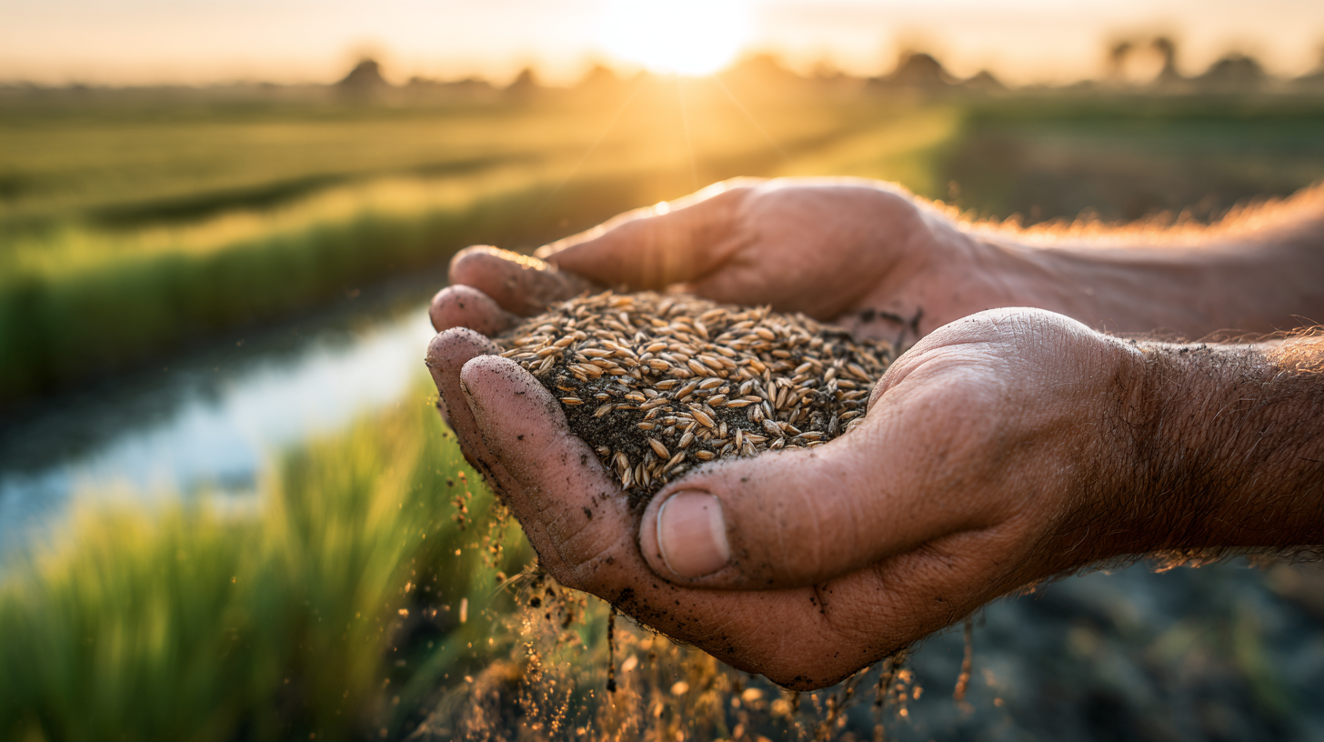
The plain owes its fertility to centuries of silt deposited by seasonal flooding. Even today, the Indus is the backbone of Pakistan’s agricultural economy, supporting fields of wheat, cotton, rice, and sugarcane. Irrigation canals, some dating back to the colonial period, transform the landscape into a patchwork of cultivated land.
Geographically, the Indus Plain can be divided into upper and lower regions. The upper plain, located in Punjab, benefits from abundant water and moderate climate, while the lower plain in Sindh is hotter and more prone to salinity but remains essential for national agriculture. The Indus also forms wetlands, marshes, and riverine forests that sustain a range of species and provide ecological stability.
The plain’s strategic importance cannot be overstated. It is both the economic heart of Pakistan and a region deeply shaped by seasonal rhythms — from the melting of glaciers in the north to the arrival of the monsoon. Life here is inseparable from the river that created it.
The Thar and Cholistan Deserts: Landscapes of Heat and Mirage
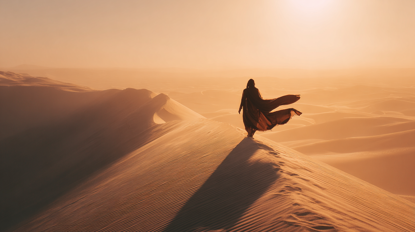
In the southeast, the landscape transforms dramatically into arid deserts dominated by wind, sand, and sparse vegetation. The Thar Desert, shared with India’s Rajasthan, extends across southeastern Sindh and is characterized by rolling dunes, thorny shrubs, and a climate shaped by intense summers and mild winters. Despite its harshness, the Thar is surprisingly inhabited, with villages, grazing lands, and centuries-old cultural traditions tied to seasonal monsoon rains.

West of the Indus lies the Cholistan Desert, an extension of the larger Thar but more stark and less populated. Here, the land is defined by wide horizons, cracked earth, and an atmosphere thick with silence. Ancient forts, such as Derawar, rise from the sands like reminders of the desert’s long history as a caravan route. The Cholistan’s ecology relies heavily on rare rainfall events that briefly transform dry land into grazing fields before the heat returns.
Both deserts illustrate unique adaptations — in vegetation, wildlife, and human settlement — shaped by extremes of climate. They are landscapes of endurance, where survival depends on a deep understanding of the land’s rhythms.
Balochistan: A Land of Plateaus, Canyons, and Geological Wonder
Balochistan occupies nearly half of Pakistan’s land area, yet remains one of its least explored regions. Its geography is dominated by vast plateaus, rugged mountains, and arid basins sculpted by wind and tectonic forces. The region’s Sulaiman, Makran, and Kirthar ranges create dramatic elevations, while limestone cliffs and folded strata reveal the region’s geological complexity.
In the south lies the Makran Coast, a rugged shoreline defined by eroding cliffs, mud volcanoes, and coastal plains. Mud volcanoes such as those in Hingol National Park are rare natural wonders formed by subterranean pressure pushing up gases and mud. The park itself features an array of landscapes — rock arches, desert dunes, river canyons, and habitats that support endangered species.
Moving inland, the Balochistan Plateau stretches for hundreds of kilometers. Its landscapes resemble those of Central Asia — broad valleys, cold winters, and winds that carve stone into sculptural formations. Though arid, the region contains pockets of fertile land near springs and underground water channels known as karezes. Balochistan’s scale and isolation make it feel timeless, a place where geological processes outweigh human presence.
Coastal Pakistan: Where Land Meets Sea
Pakistan’s coastline along the Arabian Sea extends for nearly 1,000 kilometers, forming an interface between land and ocean that shapes both climate and ecology. In the west, the Makran Coast is wild and rugged, with cliffs descending sharply into deep blue waters. Strong tides and seasonal winds reshape beaches, creating a landscape defined by movement and erosion.
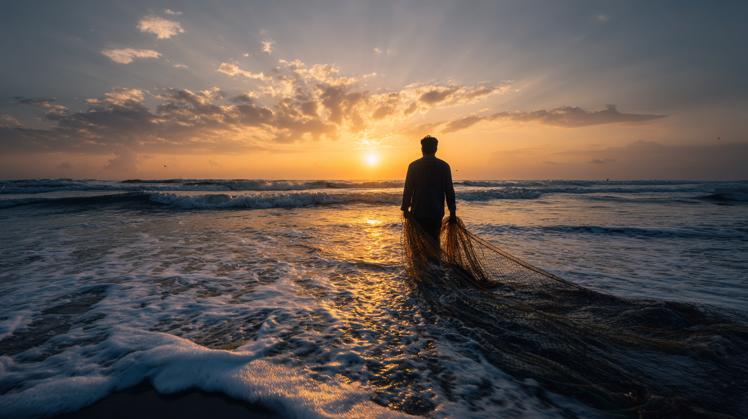
Further east, near Karachi, the coast becomes flatter and dominated by tidal creeks, mudflats, and mangrove forests. The Indus Delta forms one of the world’s largest arid-zone mangrove ecosystems. These mangroves play an essential ecological role: they stabilize coastlines, filter water, provide habitat for fish nurseries, and act as buffers against storms and cyclones.
The Arabian Sea also influences Pakistan’s climate, moderating temperatures in coastal regions and contributing to humidity patterns. It supports fishing communities whose livelihoods depend on seasonal winds and shifting fish populations. Karachi, the country’s largest city, owes much of its identity to this coastline, where the rhythms of sea and land merge.
Climate and Weather Patterns: Forces That Shape the Land
Pakistan’s geography is deeply intertwined with its climate, which varies dramatically from one region to another. The country spans several climatic zones — from alpine winters in the north to tropical humidity along the coast. This variation is driven primarily by topography, altitude, and the interaction between continental and oceanic air masses.

Northern Pakistan experiences long, cold winters and short, mild summers. Snowfall is common at higher elevations, feeding the glaciers that sustain major rivers. Further south, in the plains, summers are hot, with temperatures that often exceed 40°C. Winters are cooler and dry, while spring brings variable weather patterns that affect agriculture.
The monsoon is one of the most significant climatic forces. Arriving from the Indian Ocean, monsoon winds bring rainfall primarily to the northeastern parts of the country. These rains can be life-giving but also destructive, causing floods that reshape landscapes and affect millions. In the west and southwest, rainfall is scarce, creating arid and semi-arid conditions.
Climate also shapes ecosystems. The contrast between wet and dry regions gives rise to diverse habitats — from alpine meadows to subtropical scrublands, from riverine forests to desert shrublands. Understanding Pakistan’s climate means understanding how water, heat, and wind define the country’s agricultural cycles, wildlife patterns, and human settlement.
Rivers, Glaciers, and Water Systems: The Lifelines of Pakistan
Many regions highlight the complex geography of Pakistan, from glacial valleys shaped by ancient ice to the wide coastal plains influenced by the Arabian Sea. Pakistan’s geography cannot be understood without examining its rivers and glaciers. The Indus River system, fed by snow and ice from the northern mountains, supports agriculture, industry, and daily life for much of the population. Glaciers such as Siachen, Biafo, Hispar, and Baltoro form one of the largest concentrations of ice outside the polar regions. These glaciers act as natural reservoirs, releasing water throughout the year and regulating river flow.

Irrigation networks in the Indus Basin stretch for thousands of kilometers, transforming dry plains into productive farmland. Riverbanks form wetlands that support birds, fish, and mammals, while ancient floodplains provide fertile soil for crops. The health of these water systems determines the stability of Pakistan’s agriculture, hydropower, and ecosystem balance.
Yet these systems are vulnerable. Climate change affects glacier melt rates, altering seasonal flows. Droughts strain water availability, while floods reshape river courses. The geography of Pakistan is dynamic, dependent on the delicate balance between snowfall in the north and water demand in the south.
Conclusion
The geography of Pakistan is defined by contrast, scale, and geological drama. From the world’s highest mountains to vast desert basins, from fertile river plains to rugged coastlines, the country’s landscapes reflect powerful forces that have shaped South Asia for millions of years. Understanding this geography means understanding Pakistan itself — its cultures, cities, climates, agriculture, and biodiversity.
These landscapes are not static. They evolve through tectonic shifts, glacial movement, wind erosion, and the timeless flow of rivers. They influence how people live, what they grow, how they travel, and how they understand their place within nature.
Exploring Pakistan through its geography reveals a nation where land is not merely terrain — it is identity, history, challenge, and inspiration. It is a place where natural forces remain visible in everyday life, offering a profound reminder of how deeply human civilization is shaped by the ground beneath its feet.
Source: Geological Survey of Pakistan